Flight tracking history has been greatly impacted by the development of technology over time. Since the dawn of aircraft engineering, scientists and researchers have worked to find ways to inform ground crews of the location and success of a flight.
Radar Tracking History
In its modern form, radar is the use of radio waves to detect the presence and location of an object. It was first demonstrated in 1904 by Christian Hulsmeyer and developed further a decade later by Nikola Tesla. However, it wasn’t first used with airplanes until the World War II era. Radar’s usage during the conflict forever altered flight tracking history. While many engineers and scientists throughout the 1930s made advancements, full implementation occurred by the onset of the war. Great Britain installed the Chain Home network designed to identify German aircraft attacking the islands.
Radar tracking uses a system of observations using radar waves to simulate a flight pattern. Essentially, the system focuses on a target aircraft and sends a series of radio waves designed to locate the aircraft. This gives a ground-based facility the ability to identify where the vehicle is located. A second signal is sent to determine the new location of the airplane. By simulating the two locations, a path for the vehicle can be ascertained. This helps the crew of the facility determine the speed and overall patterns of flight for the craft.
Advances in Communication for Tracking
Additional methods of information gathering are also used to determine flight tracking. Since the earliest days of aircraft technology, radio has been used to communicate between the airplanes and the ground crews . By using a specific format for relaying information, the radio communication can be used to accent the radar information.
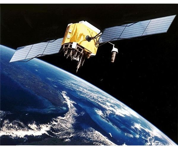
Modern flight tracking history includes the use of global positioning system (GPS) technology. Developed in the late 1970s by the U.S. military, GPS was instituted in civilian aircraft in 1983 after a Soviet interceptor shot down a Korean airliner, killing 269 people. The full range of flight tracking capability was established in 1995 and grew quickly since then. Today, nearly every airplane flies with the benefit of GPS technology, drastically changing the quality of flight tracking.
Software Development
Flight tracking history took a dramatic turn in the 21st century with the formation of numerous companies that sponsor websites and applications designed to help both airlines and passengers to track the location of aircraft. Using devices such as mobile cellular phones and other forms of PDAs, people and organizations can determine the exact location of an airplane nearly anywhere in the world. Integrating the different technologies of radar, radio and GPS, the flight location of aircraft can be presented on interactive maps in a variety of software formats. Examples of major companies specializing in this technology include FlightAware, Flightview from USA Today and Fltplan.com.
While flight tracking history has changed over the course of time to make analysis of the trips aircraft take more efficient, challenges still befall the industry. For example, severe weather still disrupts the tracking methods in place. As technology improves, however, it is expected that more effective and timely ways to keep track of airplanes will continue to evolve.
References
“The History of Radar” Windows to the Universe: https://www.windows2universe.org/earth/Atmosphere/tornado/radar _history.html
“GPS History” Maps-GPS-Info: https://www.maps-gps-info.com/gps-history.html
Image Source
GPS Satellite. (Supplied by NASA; Public Domain; https://upload.wikimedia.org/wikipedia/commons/8/8d/GPS _Satellite_NASA_art-iif.jpg)