Google Maps is a powerful web mapping service application offering street maps, route planner for traveling on foot, car or public transport and business locator for many countries. It is used in Google Maps website, Google Transit, and countless of websites using the Google Maps API.
Google Maps Technology and Features
Using the Mercator projection, Google Maps provides a powerful, user-friendly mapping technology and local business information such as business locations, contact information and driving directions.
Specifically, Google Maps has the following features:
- Integrated business search results for finding business locations and contact information including hours of operation, types of payment and other useful information
- Draggable maps for viewing adjacent sections instantly
- Satellite imagery for viewing satellite image of desired location that can be zoomed or panned
- Terrain maps for viewing physical features including mountains and vegetation with elevation shading
- Zooming functionality using double click or scroll wheel
- Keyboard shortcuts
- Detailed directions for planning and customizing travel route
- Street View for viewing and navigating within street-level imagery
How to Find a Location Using Google Maps
First thing first, you can use Google Maps whether you are signed in to your Google account or not. Either way, you can still use its functionality, but if you are signed in, you can save your Map and access it later on or on your mobile if you have synced your Google account to Google Maps Mobile on your mobile phone.
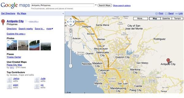
The first thing you’d probably want to do the first time you use Google Maps is to find a specific location. To do this, you simply use Google Maps’ search function and enter specific information such as address, city, state, and ZIP. The best way to do this is to enter your search in the following manner:
‘Address, city, state’ or ‘Address, city, ZIP’
You can also find locations using latitude and longitude coordinates. If you have specific coordinates you can enter them as search strings or you can enter random numbers and see if it hits an exact location on Google Maps.
If you’re traveling from one to point to another, Google Maps can also give you specific routes with turn-by-turn directions. To do this, you simply enter your beginning location plus the word “to” and the ending destination, after clicking the “Get Directions” button located at the top of the left panel on Google Maps site.
How to Embed a Google Map into a Website or Blog
One of the best features of Google Maps is the ability to embed specific map points on websites and blogs. You can embed your own plotted map as well as other maps created by other users. To embed a Google Map simply click on “Link to this page” when a map is displayed, copy the HTML that is displayed and paste it unto your weblog or site’s HTML code. You can also customize the map further by clicking “customize and preview embedded map” and edit your preferred settings before copying the code and pasting it to your blogs or sites.
How to Customize Google Maps
If you have signed in for a Google account before using Google Maps, you need to log in to that account to customize your map. Once you’ve logged in to your Google Account you can start adding photos, weather and public transit overlay information to your Google map. You can also annotate the map as well as add other information from other sources.
Conclusion
After you have grown accustomed to its many intricacies, you’d soon realize that Google Maps is indeed a very useful tool. These are just some of the basic things that you can do with Google Maps. It’s an extensive mapping tool that will let you do so many other things. And it has many sub-parts too such as Google Maps for Mobile and Google Maps API and has also evolved into other Google sub-products such as Google Earth, Google Moon, Google Space and more.


