Google Earth lets users fly around the world, exploring the globe from a computer. Although fun to play with, Google Earth provides tools for productivity. Here we look at how to use topographic maps that make Google Earth useful for many occupations and studies.
Getting Google Earth
Using Google Earth, people regularly fly around the world, exploring new places and finding everything from airports to restaurants. This amazing application ties together data from satellites and other sources to make learning about the earth easy and fun.
Google Earth comes as either a free or paid version. The professional version adds faster performance, high-resolution printing, area measurements, email support, high-resolution movies and batch geocoding. It is also allows users to turn off the advertisements that display inside the program. The professional version currently costs $399 for a one-year subscription, and quantity discounts for purchasing more than 10 licenses may apply.
The topographic maps discussed here will work with either version of Google Earth.
Download the software
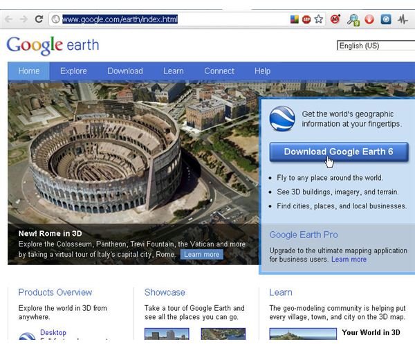
To get started with Google Earth, users must visit the Google Earth website and then click the button to download the software. See the “References” section for the URL.
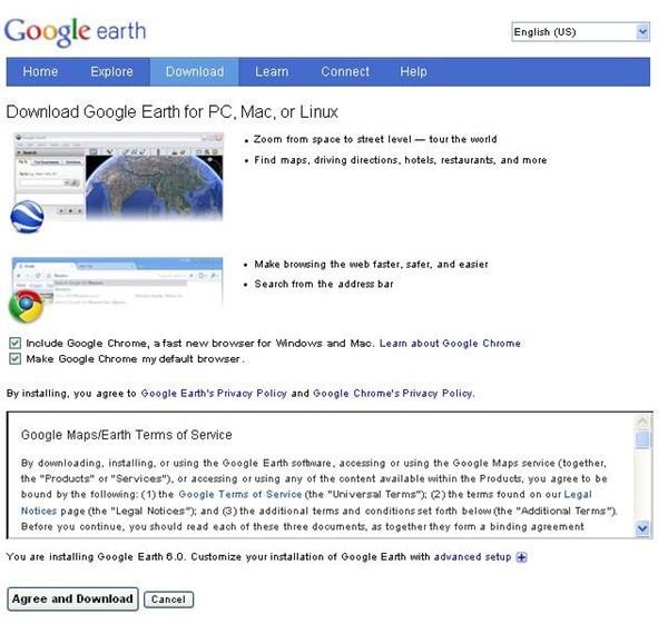
Next, a license agreement form appears users must click the “Agree and Download” button to continue. If they use a non-Google browser, this form by default will download Google Chrome and set it as the default web browser on their computer. Those who do not want Google Chrome should uncheck those boxes before clicking the download button.
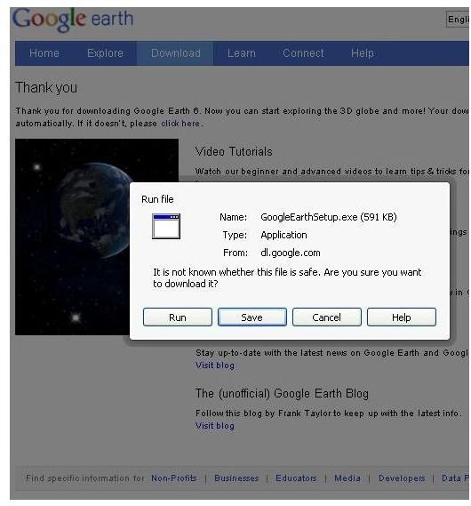
Most of the time a browser dialog now appears asking whether to save or run the file. Users should choose “Run” if available. If not, they should choose “Save” and then double-click on the file in the downloaded file list of their browser.
A progress window will display as the program downloads data from Google and then installs the Google Earth application.
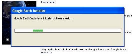
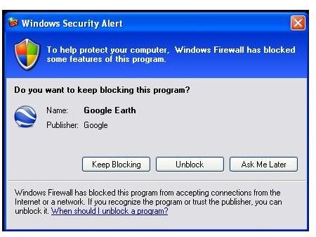
Google Earth can take a few minutes to install, so users should exercise patience. Users may need to unblock Google Earth if their firewall software blocks it.
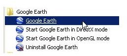
After the software installation completes, Google Earth normally starts automatically. If it doesn’t users can open the program from the Windows Start menu. Just click the “Start” button and then find the “Google Earth” folder.
When Google Earth starts for the first time, they can choose to view a tip or watch a video. After viewing this information, they should click the “Close” button to continue.
Running Google Earth
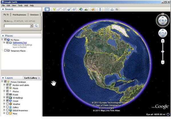
When Google Earth starts, users will see a globe as the central object in a simple user interface.
Google Earth does not come with a built-in topographic map feature, so users who need that feature must download a third-party file that will add that feature under “Temporary Places” in the “Places” panel on the left side of the screen.
Installing Topographic Maps
With Google Earth installed, users may now visit the 3D Solar download page to get the topographic maps. The download source shown here is from the Google Earth Community Bulletin Board. Users may also download the file from the Google Earth Library website. See the “References” section for links to these download locations.
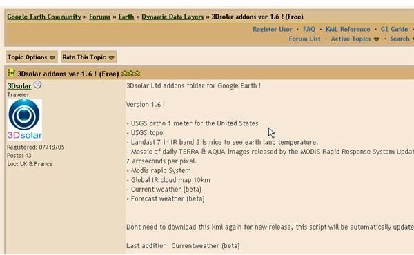
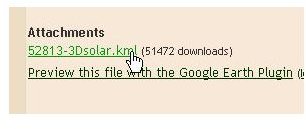
Scroll down the page and then click the link that says “52813-3Dsolar.kml.” Users click the link and the file will download to their web browser. Be sure to click the link to the file, not the link for the Google Earth plugin.
When the download completes, users can find the file in the download tray of their web browser. Double click on the file to load it into Google Earth. Users will now find a selection of topographic maps.
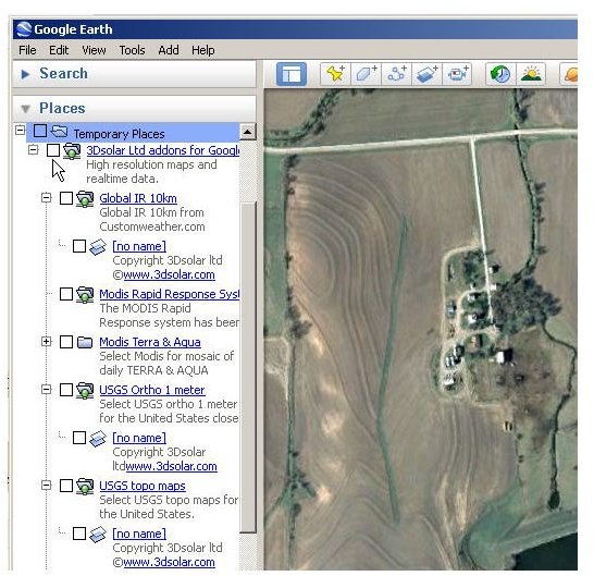
Using Topographic Maps in Google Earth
Google Earth users can try all the different maps in the collection. Here, for this example, check the “USGS Topo Maps” selection box to enable it. The topographic map for the area in the window will now display. Data for all 50 states are provided by the 3D Solar
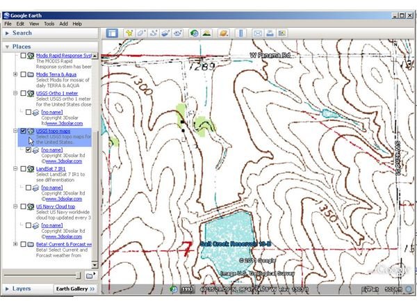
Users will notice that when the zoom out, a noticeable time lag occurs while the system updates the topography of the displayed area. This is normal. In just a few seconds, the correct topographic view will display.
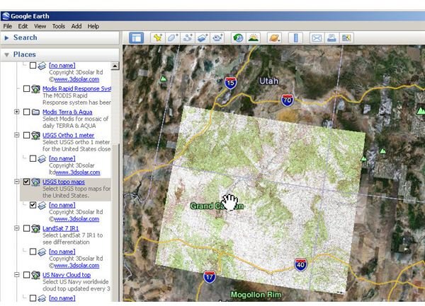
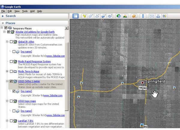
Changing the map type is easy. Just uncheck the current selection and check another. In the image below, Google Earth displays the USGS Ortho 1 meter map. This layer displays black and white aerial photos of the continental United States.
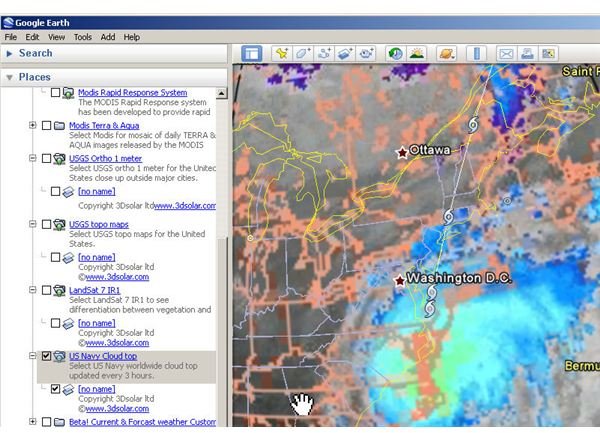
The US Navy Cloud Top map displays the convective cloud top heights in thousands of feet. It displays data for the entire world at three-hour intervals.
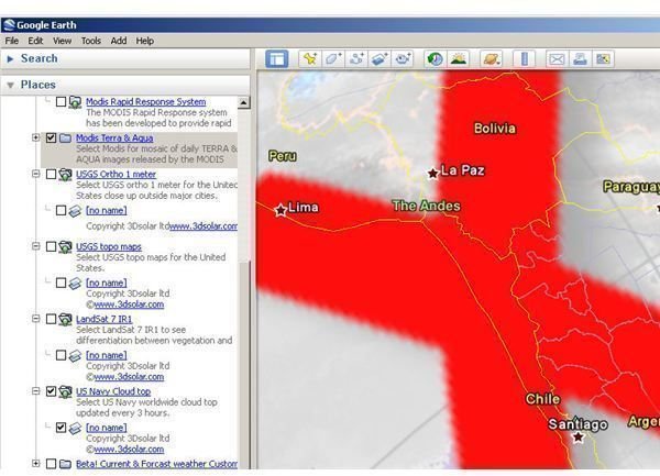
Unfortunately, some of the maps included in the 3D Solar collection no longer work. Users will see a large red “X” in these cases. For example, the Modis Terra & Aqua map does not seem to work properly as shown here.
Google Earth users should try the 3D Solar maps in the collection to see which ones they can use.
Google Earth and Topographic Maps: Perfect Together
With Google Earth topographic maps, users can use the Google Earth for endless hours of research, study and fun. Interested readers will find much more information about Google Earth here at Bright Hub.
References
- Image Credits: Google Earth and Windows screen shots taken by Bruce Tyson
- Google. “Google Earth”, http://www.google.com/earth/index.html
- Google Earth Library. “3D Solar Addons”, http://www.gelib.com/3d-solars.htm
- Google. “Features, Benefits and FAQ”, http://www.google.com/enterprise/earthmaps/pro_features.html#compare
- Sah. “Review of Google Earth Pro - Paid vs. Free Versions of Google Earth”, https://www.brighthub.com/internet/google/reviews/67002.aspx
- Images from respective websites linked to below
- Google. “Google Earth”, https://www.brighthub.com/internet/google/topics/google-earth.aspx
- “3D Solar addons ver 1.6 (Free!) Google Earth Community”, http://bbs.keyhole.com/ubb/ubbthreads.php?ubb=showthreaded&Number=52813&site_id=1#import


