Passive remote sensing is the method of acquiring and interpreting data by means of detecting electromagnetic radiation from a source using passive sensors. We will look at the principles of passive remote sensing and how those principles are applied in today’s space technology.
Principles of Passive Remote Sensing
The principles of passive remote sensing include an understanding of electromagnetic radiation , the various types of sensors and platforms used to detect that radiation, interpretation of the data and its applications. We will look at each one of these principles briefly.
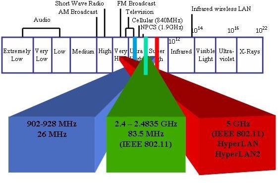
1. Electromagnetic Radiation - In passive remote sensing, passive sensors detect electromagnetic radiation emitted from an object. It is therefore essential to understand the nature of electromagnetic radiation and its interaction with the atmosphere. The propagation of electromagnetic energy is in the form of sine waves which are characterized by electric and magnetic fields. It can be in the form of either waves or photons. In passive remote sensing, we look for the wavelengths of the electromagnetic radiation emitted. Electromagnetic radiation can be in the form of ultraviolet radiation, x-rays, visible light and so on. When this radiation enters our atmosphere from the Sun, it is either reflected, scattered, absorbed or scattered. Passive remote sensing methods use either the Sun as a source of energy or artificial sources emitting radiation. Passive remote sensing systems are greatly affected by the atmospheric conditions from the varying amount of radiation received from the Sun.
2. Passive Sensors and Platforms - There are numerous passive sensors and platforms used for a variety of applications. A passive sensor measures the electromagnetic radiation emitted and stores it. The platform is a something the sensors is attached to. The following are of some of the passive sensors, the platforms used and their applications:
Gamma-ray spectrometer - A gamma-ray spectrometer is a passive sensor that detects gamma rays. The sources for the radiation is are generally upper-soil layers as well as rock layers. The radiation is caused by radioactive decay. Fundamentally, the gamma-ray spectrometer is used to explore mineral deposits.
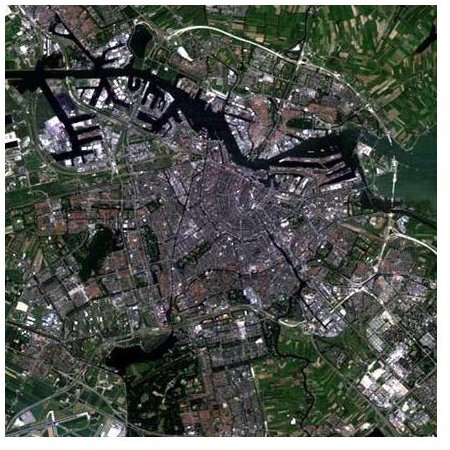
Aerial cameras - An aerial camera is another type of passive remote sensor. This is used in aerial photography. Aircraft serve as a platform as well as many low-earth orbiting satellites deploy many aerial cameras. The main application of aerial cameras is for topographic mapping.
Thermal infrared video cameras - Although a video camera is a passive sensor, thermal infrared video cameras are equipped to detect radiation in the near-infrared range. Applications can be to provide additional qualitative data about a region. These devices are sometimes combined with active sensors, such as radar, to provide additional information. Aircraft as well as satellites can serve as platforms.
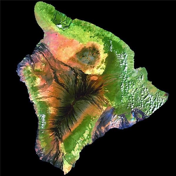
Multispectral scanner - A multispectral scanner records information in the visible and infrared spectrum. The scanner scans the Earth’s surface for various wavelength bands. Satellites act as platforms for such passive sensors. One of the applications of the multispectral scanner is for geological purposes.
Imaging Spectrometer - An imaging spectrometer is principally similar to the multispectral scanner. It scans very narrow wavelength bands of the spectrum. Satellites are used as platforms. Applications can range from determining the mineral composition of the Earth’s surface to concentrations of suspended matter in surface water.
3. Color Composites and Enhancement of Visual Imagery - In passive remote sensing, the way we perceive color is important. Image data is converted to ‘pictures’. Pictures are then interpreted using the color perception theory. The tri-stimuli model states that the description of color is based on three degrees of freedom. These are the Red Green Blue (RGB) space, Intensity Hue Saturation space (IHS), and Yellow Magneta Cyan space (YMC). Single band images as well as color composites can be created and identified using this scheme. Red, blue, green colors are mixed additively and digital numbers of the three bands are then perceived on a computer monitor. This can then be used to determine the spectral properties of a landscape. Various passive remote sensing systems use this color coding method to enhance an image using a technique called image fusion. Image fusion allows us to properly calibrate an image for visual interpretation.
- Visual Image Interpretation - The interpretation of data is very important when remote viewing is concerned. In passive remote sensing the data is acquired, prepared and interpreted. Images are visualized either on screen or in hard-copy. Colors are interpreted by pattern recognition and logical inference. A set of guidelines already in place are used by the interpreter to interpret the data. The main characteristics of a picture are defined as elements that are used for interpretation. They are briefly described below:
a) Tone: This refe
rs to the relative brightness of the image.
b) Shap__e: Refer to objects that in the terrain that are visible.
c) Size: This is generally looked at relative to other objects.
d) Pattern: Refers to the way the objects are arranged.
e)Texture: This refers to the roughness of the terrain.
f) Site: This is the topographic location.
g) Association: This refers to inferring the meaning of a number of objects that are combined.
Passive Remote Sensing Systems
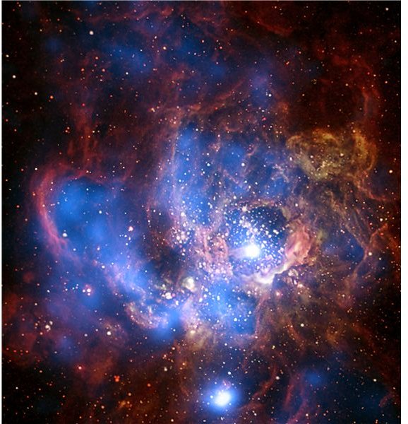
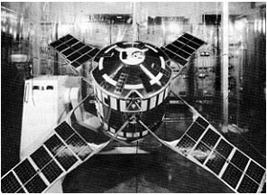
Passive remote sensing systems include satellites as well as telescopes. NASA’s Landsat satellites have taken images of the Earth to understand the physical processes that shape the planet as well as changes brought about by human interaction with the planet. Environmental satellites use passive remote sensing systems to gather environmental data about the Earth. Passive remote sensing systems have also been used for space exploration. An example is the Mars Odyssey, which used spectrometers and imagers to look for past and present existence of water on Mars. The Hubble space telescope and the Chandra-X observatory , both have passive remote sensing systems that are used to study the cosmos, from stars to galaxies and distant objects in the Universe. The Spitzer telescope is also equipped with passive remote sensing systems. It uses infrared technology to study the Universe.
Passive remote sensing has numerous applications in various other fields ranging from earth sciences to soil sciences. With the rapid advancement of technology, the potential for further applications is enormous,
Credits
1. https://rst.gsfc.nasa.gov/Front/tofc.html
2. https://wikispaces.psu.edu/display/RemSens597K/I
3. https://encyclopedia.jrank.org/articles/pages/1178/Remote-Sensing.html
Image Credits:Wikimedia Commons/Anish.arakttar/WhisperToMe/NASAandNOAA/Hautala/Smithsonian Institution