What's the Story Behind Satellite Clock Errors and GPS Tracking Errors?
How GPS Works
Global Positioning System (GPS) satellites transmit data with their current position and time as they orbit the earth. There are a minimum of 24 satellites in the system at all times, and every satellite transmits this information at the same time.
GPS receivers take in this information from multiple satellites and create a “sphere” that encompasses the satellite and receiver. The receiver continues this process, creating spheres from several other satellites, until it knows the location where all of the spheres intersect. The point of intersection is the location of the receiver, and it is generally accurate within a range of 30 feet. You can read my article, GPS Positioning Accuracy, to learn more about the GPS system.
Satellite Clocking Errors For Dummies
So, why do satellite clock errors and GPS tracking errors occur?
The clocks within GPS receiver clocks are not always accurate, and these inaccuracies, even if small, can create significant errors in determining location. While the situation could be remedied by equipping GPS receivers with extremely accurate internal clocks, GPS manufacturers must also create reasonably priced equipment for public purchase. So while it is possible to create a more accurate GPS receiver by improving the clock quality, it is cost prohibitive on mass market consumers, creating inevitable satellite clock errors.
Instead of installing more accurate clocks, the GPS receiver clock time is corrected through a mathematical estimate that advances or delays the clock time. The end result is not precise, but the cheaper solution helps make GPS widely available for public use.
GPS Tracking Errors for Dummies
Another factor that affects satellite tracking errors is their location in orbit. As the satellites are in orbit, there are times when your GPS receiver might have a better grouping of satellites than at other times. For instance, if your receiver was receiving signals from four satellites that were well distributed throughout all directions, your accuracy would be improved. However, if all four satellites that you were receiving were located in the southwest, you would have poor “satellite geometry.” This poor distribution of satellite signals would result in an inaccurate reading, if a reading was possible at all.
Satellite geometry can also be affected by buildings, trees, or other objects. It would be possible, for example, to have good satellite geometry from your location if you were on a flat plane, but some of the signals are blocked by objects in the environment, thus creating poor satellite geometry.
Buildings and objects can also create a delay in the acquisition of a signal. The satellite radio signals bounce off of buildings and other large objects, which adds travel time to the signal. This increase in travel time creates an inaccuracy of several feet, but usually only occurs in areas with large buildings.
References:
How GPS Works: https://www.nasm.si.edu/gps/work.html
GPS Error Sources: https://www.kowoma.de/en/gps/errors.htm
Image Credits:
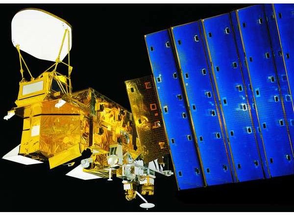
Aqua Satellite image by NASA – TRW, via Wikimedia Commons
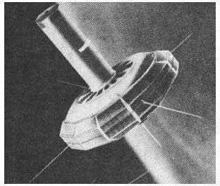
TRAAC Satellite image courtesy of United States Federal Government via Wikimedia Commons