Using Your GPS Device to Find GPS Coordinates
Using a GPS Device
To navigate and locate destinations with a GPS device, the first step is to understand and know how to find GPS coordinates. GPS uses the same coordinate system that map makers and navigators have used for centuries – latitude and longitude.
Latitude and longitude are not difficult to understand, and a little practice will allow you to enter coordinates into your GPS and locate specific points and landmarks. If you start to find the use of coordinates interesting, you will want to learn more advanced map reading skills. Of course, with the technology now available, some GPS users never unfold a map and can find all the coordinates they need.
Understanding Latitude and Longitude
The latitude and longitude lines cover the planet, this planet - Earth, in a grid that can be used to pinpoint any location with a set of coordinates.
Latitude lines are a set of lines that run horizontally around the globe parallel to the equator. A location’s latitude coordinate is measured in degrees north or south of the equator. The maximum value for latitude is 90 degrees, which would put you on the north or south pole. Longitude lines run through the poles north to south. They provide a measurement in degrees as you move east or west. The zero latitude line runs north and south through Greenwich, England. Latitudes then increase in degrees east and west out from Greenwich for 180 degrees to the other side of the planet.
A location’s coordinates are designated by latitude and longitude annotated in degrees, minutes and seconds. For example, the town of Spring Valley, Minnesota has coordinates of 43 degrees, 40 minutes, 34 seconds north latitude and 92 degrees, 36 minutes, 7 seconds north longitude. Using more common punctuation, the coordinates can be written N 43° 40’ 34", W 92° 36’ 07". Other ways of writing coordinates uses decimals for the minutes and seconds. This article discusses the different ways to write coordinates and how to convert between styles.
Finding Coordinates
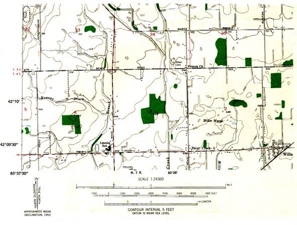
The old fashioned way to find the coordinates of a specific location was to get out a topographic map and find the coordinates using the latitude and longitude lines. A grid of lines will cross the map with the degrees of latitude and longitude listed along the sides and top or bottom. Depending on the scale of the map, there also will be lines or tick marks for the minutes. Pick out a point on the map and estimate the latitude and longitude. Then enter the coordinates into your GPS to get a direction and range to the point.
You can easily find GPS coordinates from Google Maps. To find any location on Google Maps, place the cursor over the desired point, right click and select What’s Here? The lat/long coordinates for the point will show up in the search box above the map! Google uses decimal degrees for the coordinates. South latitude and west longitude will show as negative numbers.
With technology, now it’s easier than ever to find GPS coordinates–wherever your trips take you!
References
Berkeley.edu: Topographic Maps https://www.lib.berkeley.edu/EART/tour/topo.html
satsig.net: Explanation of Latitude and Longitude https://www.satsig.net/lat_long.htm
Photo Credit: https://www.csus.edu